Researcher — a little map
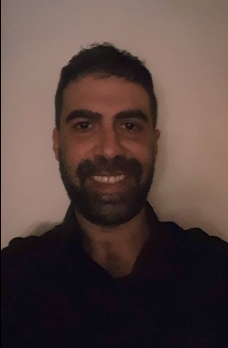
Dr. Stathis G. Arapostathis
Interdisciplinary research: Social media, machine learning, natural disasters, people and place.
About
Biography
Dr. Stathis G. Arapostathis was born in Athens, Greece, on September 1st, 1984. After completing his school studies, he moved to Mytilene, on the island of Lesvos, where he studied Geography at the University of the Aegean. He later pursued both his MSc and PhD at the Department of Geography, Harokopio University in Athens, specializing in Geo-Informatics and, subsequently, in the use of Social Media for natural disasters. His research interests revolve around the intersection of Social Networks and Science. He is currently Researcher at self-owned laboratory in Greece, called a little map.
His broader interests span Social Media, Machine Learning, Volunteered Geographic Information (VGI), Geoinformatics, GIS, the development of web map applications, tourism geography, and applied technologies in geography and education.
His publications have been cited more than 75 times so far (filtered identified citations of Google Scholar profile), with an i-20 index = 1 and an i-5 index = 6 (as of August 2026). Alongside his research background, he has three years of teaching experience and has been teaching mainly in secondary education since 2023.
Peer reviewed scientific publications
Publications
Chapters in books
-
Social Networks and Participatory Approaches in the Sendee of Disaster Management of Fire Events
-
Fundamentals of Volunteered Geographic Information in Disaster Management Related to Floods
Articles in international scientific journals
-
Discourse on Middle Eastern Refugee Waves and War, Mainly in 2015, through “Greek” Tweets. The Semi-Fuzzy and Semi-Automated temporaLDA and TransGIS-LDA-SVM Approaches
-
Exploiting Multiple Social Media Sources for Severe Weather Management. The Case Study of Medicane Ianos
-
Introducing Deucalion and Pyrrha v1.0: Image Datasets for Disaster Management of Floods
-
Social Network Users Create Seismic Intensity Maps: An Automatic Approach of the Methodology
-
Utilising Twitter for Disaster Management of Fire Events: Steps Towards Efficient Automation
-
A Methodology for Automatic Acquisition of Flood-event Management Information from Social Media: The Flood in Messinia, South Greece, 2016
-
A Method for Creating Seismic Intensity Maps from Twitter Data
Papers from international conferences
-
Archiving Social Media Discussions in Time and Space: A Focus on Refugees from Middle East and Related War Conflicts During Jan 2015–Apr 2016
-
Fire-Event Management Insights Through Social Media
-
Instagrammers Report About the Deadly Wildfires of East Attica, 2018, Greece: An Introductory Analytic Assessment for Disaster Management Purposes
-
Mapping Information of Fire Events, from VGI Source (Twitter), for Effective Disaster Management (in Greece); The Fire of North-East Attica, August 2017 (Greece) Case Study
-
Tweeting About Floods of Messinia (Greece, September 2016) — Towards a Credible Methodology for Disaster Management Purposes
-
Mapping Information Related to Floods, Extracted from VGI Sources, for Effective Disaster Management within the Greek Territory; The Floods of West Attica (November 2017, Greece) Case Study
-
Developing Seismic Intensity Maps from Twitter Data; The Case Study of Lesvos Greece 2017 Earthquake: Assessments, Improvements and Enrichments on the Methodology
Accepted abstracts in conferences
-
The Samos Earthquake Event (Mw = 7, 30 October 2020, Greece) as Case Study for Applying Machine Learning on Texts and Photos Scraped from Social Networks for Developing Seismic Intensity Maps
Presence in Greece (selected)
- Arapostathis (2019). International Summer School of Russian Geographical Society, St. Petroupolis, Russia, August 2018. Geographies, 33: 118–121, ISSN 1109-186X.
- Arapostathis (2018). The social media network Twitter as a source of volunteered geographic information for extracting mapping information and developing seismic intensity maps. Publication of PhD dissertation, Geographies 32: 114–118, ISSN 1109-186X.
- Arapostathis S. G. (2021). Extraction of feelings of social network users regarding immigration. Geographic Conference, University of the Aegean, Mytilene. doi.org/10.26215/heal.cd9y-gt59
- Arapostathis (2018). A semi-automated method, developed in R, for generating seismic intensity maps from Twitter data. 15th National Cartographic Conference, pp. 390–403, Thessaloniki. ISBN 978-960-88380-8-6.
- Arapostathis E. (2010). A web-tool for visualizing geographic data for the National Archaeological Museum of Athens. 6th Pan-Hellenic Congress Hellas GIs, Athens.
CV
Professional experience
- Educator / School Teacher, Secondary Education, Greece (2023 – today)
- Self-employed, a little map (2018 – today)
- External collaborator, Hellenic Statistical Authority (2019–2023)
- 2017–2018: short collaborations with small and mid-sized companies in Greece (Geoapikonisis, etc.)
- HERE (formerly Nokia / Navteq), Geographic Analyst I/II (2010–2016)
- Prior to 2010: one year of experience in small and mid-sized Greek companies (ITMC, Geoapikonisis AEMGE, etc.)
Skills
Languages & computing
Languages
- English — Proficiency (C2), University of Michigan
- Spanish — Básico (B2), Instituto Cervantes
Programming
- R, Python, JavaScript, HTML5, CSS, C++
Machine learning
- Label Studio
Geography software
- QGIS (Quantum GIS)
- R: GIS-related packages
- Developer of QGIS tools written in R
General software
- LibreOffice, Ubuntu, WordPress, Zotero, internet tools
Other activities
- Blogger — Geografos.gr
- Reviewer